Jason Lee Davis' RailFan Pages
 Trackside on
THE MOFFAT ROAD

The Moffat Road extends from Denver,
Colorado, westward into the Front Range of the Rocky Mountains. This former Denver
and Rio Grande Western line is now under the ownership of the Union Pacific Railroad.
This is one of the most rugged mountian rail lines in the world and a favorite site
for many railfans, myself included. This is the modest beginning of my set of pages
dedicated to this historic mileage of track which includes the famous Tunnel District and
the 6.21 mile long Moffat Tunnel. These pages will contain trackside images of the
route. For images of the Moffat Road taken from the rails, please visit the
companion pages to this set, my Rio Grande Ski Train Excursion
Pages. Enjoy your visit... -Jason
You may click on the images for
larger versions if you would like to see more detail.
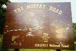 |
This sign showing a diagram of the "Hell Hill
Route" is located along East Portal Road. "Hell Hill" refers to the
labor intensive route up devils backbone and over the Continental Divide prior to the
completion of Moffat Tunnel in 1927.
photo July 1997 |
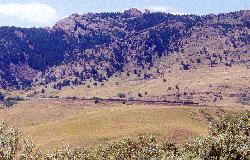 |
This is the S curve as know as the "Big Ten" and
"Little Ten" Curves, or many times as simply the "Big Ten" Curves.
It is so named because of it's tight 10 degree radius of curvature. Visible
in this picture are a string of hopper cars filled with dirt and permanently placed on the
inside of the curve to act as a wind break. Note: A ten degree
curve means that the centerline of the rails curves at a radius such that it
is 10 feet off of a line tangent to the curve at 100 feet.
August 29, 1998 |
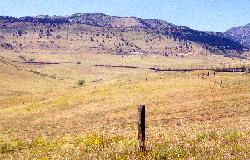 |
Here, one train waits in the Rocky Siding at Mile Post (MP)
18, while another makes the ascent through the Big Ten and Little Ten Curves.
August 29, 1998 |
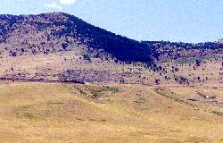 |
The engines can be seen entering the upper curve while the
end of the train is still visible on the lower curve.
August 29, 1998 |
|
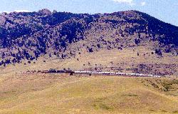
Here, the freight continues around the upper S of the
"Big Ten." The curves mark the first significant gain in elevation in the
railroad's attact on the Rocky's. The route gains over 4,000 feet in elevation in
the 54 mile journey from Denver to the line's 9,239 ft. apex in Moffat Tunnel under the
Continental Divide.
August 29, 1998 |
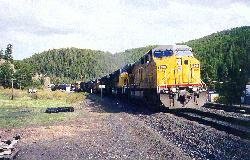 |
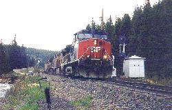
Westbound UP #7308 leading a consist of 8 engines into
Cliff (Pinecliff, CO). It looked like an impressive lashup, however, only the first 3
units were on-line.
June 5, 1999 |
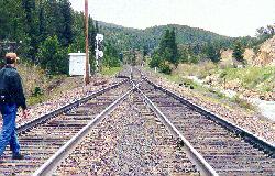 |
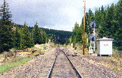
"Y" switch at the west end of the
Cliff siding at Pinecliff, CO.
June 5, 1999 |
 |
 |
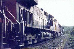
SP #328 leading a westbound coal empty out of
Cliff.
June 5, 1999 |
 |
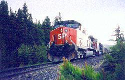 |
SP #376 and another SP unit following SP #328 as DPU's.
June 5, 1999 |
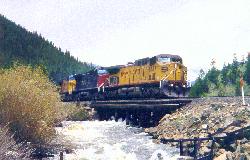 |
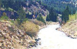
UP #6887 leading an eastbound
coal train along South Boulder Creek between Tolland
and Rollinsville, CO.
June 5, 1999 |
 |
Next Page
Page/Photographs ©1997-2009 Jason
Lee Davis
Other Highly Recommended Moffat Road Sites:
Kevin Morgan's ColoradoRailfan.com - Detailed
Moffat Road and engine information by Kevin Morgan.
Paul D. Birkholz's Mountain
West Rail - Photos and personal accounts of Colo. Railfanning
weclome back!
Jim Burrill's Colorado Rails
Homepage - Great info about the Moffat Road and other area railroad
action.
Jim Griffin's D&RGW Homepage
- Photos and D&RGW equipment information.
If you're traped in someone
else's frames, CLICK HERE to escape.

Click your browser's BACK button to
return to the previous page.
Click HERE
to go my RAILFAN Page | Click HERE to go to my homepage.
WebMaster: Jason Lee Davis
| E-Mail: Jason.Davis@tamuc.edu
Last update: March 6, 2009
![]()
![]()